An expansive aerial view of a coastal Florida neighborhood captured from a medium-altitude drone, showing detailed rooftops, manicured lawns, and a winding canal with boats neatly docked along seawalls. The scene is bathed in soft late-afternoon sunlight, creating crisp, realistic shadows that define every structure and tree. The water reflects a muted blue-green, with subtle ripples visible in photographic realism. Composed in a balanced, slightly angled bird’s-eye perspective, the image emphasizes clarity and precision across the entire frame, evoking a professional, survey-grade mapping feel while maintaining a clean and modern aesthetic suited for a client portal dashboard background.

Client deliverables

Access your drone maps, surveys, and 3D models anytime, approve deliverables, and download files optimized for your project software.

Precision imaging for Florida projects

Florida Aerial Imaging transforms drone flight data into ready-to-use maps, measurements, and models tailored to engineers, surveyors, and developers.

A high-resolution top-down orthomosaic-style aerial image of a mixed-use commercial area in Florida, featuring clearly distinguishable parking lots, building outlines, landscaped islands, and roadway markings. The perfectly vertical perspective creates a flat, map-like view with sharp focus from edge to edge. Bright but diffused mid-morning sunlight eliminates harsh shadows, allowing every painted line, curb edge, and roof texture to be visible in photographic detail. The composition feels technical and highly organized, with subtle color contrast between asphalt, concrete, and greenery, conveying accuracy, reliability, and a professional surveying atmosphere ideal for a mapping client portal hero image.
A precise 3D digital terrain model visualization of a construction site, rendered in photographic style, with a grid overlay and subtle contour lines draped across graded earth, retention ponds, and access roads. The view is taken from an elevated oblique angle, showing both height variations and planimetric detail. Soft, even overcast lighting minimizes harsh contrast, letting the subtle earth tones, gravel textures, and newly poured concrete pads remain clearly defined. The mood is technical, analytical, and highly professional, suggesting engineering-grade deliverables. The composition uses asymmetrical balance, with the main elevation changes drawing the eye, evoking a modern, data-focused client report illustration.
A detailed aerial oblique photograph of a large solar farm in rural Florida, with long rows of dark blue photovoltaic panels aligned in precise geometry across gently rolling terrain. The drone viewpoint is slightly above and offset, showcasing both the repeating patterns of the panels and the surrounding service roads and boundary fencing. Warm golden-hour sunlight skims across the scene, creating clean, elongated shadows between panel rows that emphasize depth and structure in photographic realism. The atmosphere is crisp, orderly, and technologically advanced, reflecting sustainability and precision surveying. The composition follows the rule of thirds, with the panel grid leading diagonally through the frame for a dynamic but professional feel.

Services

Mapping

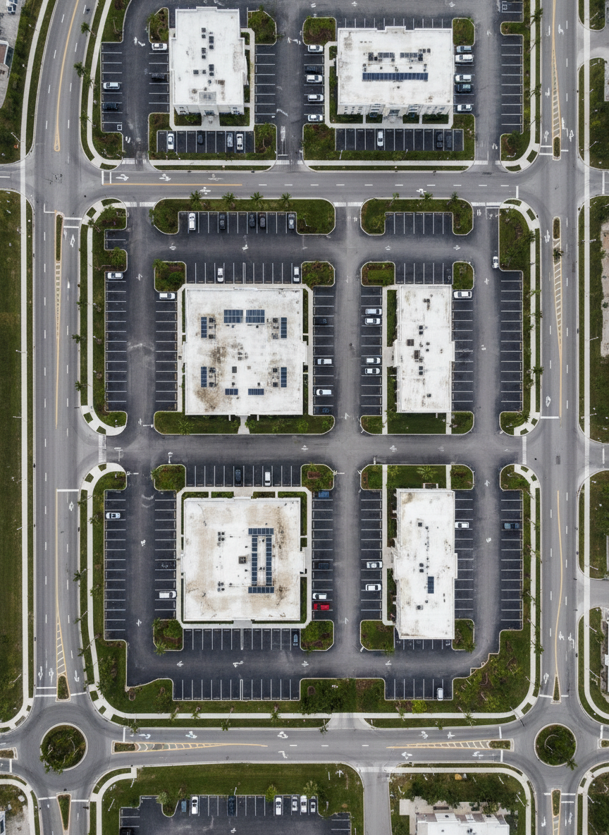
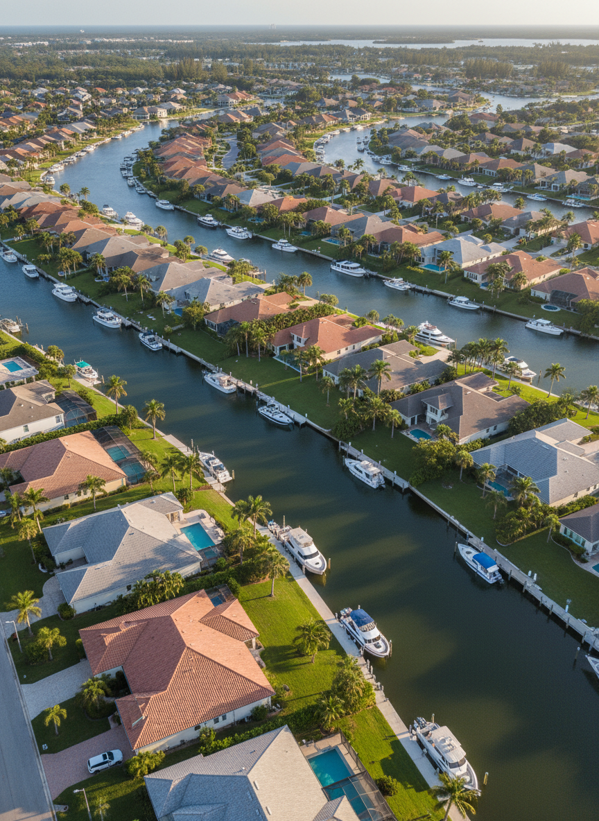
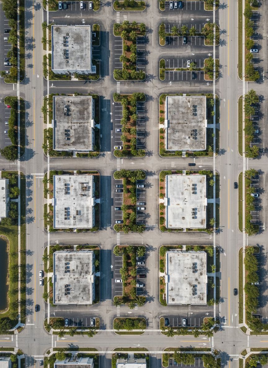
High-resolution drone mapping for construction, agriculture, and planning, delivered as orthomosaics, contours, and GIS-ready layers.

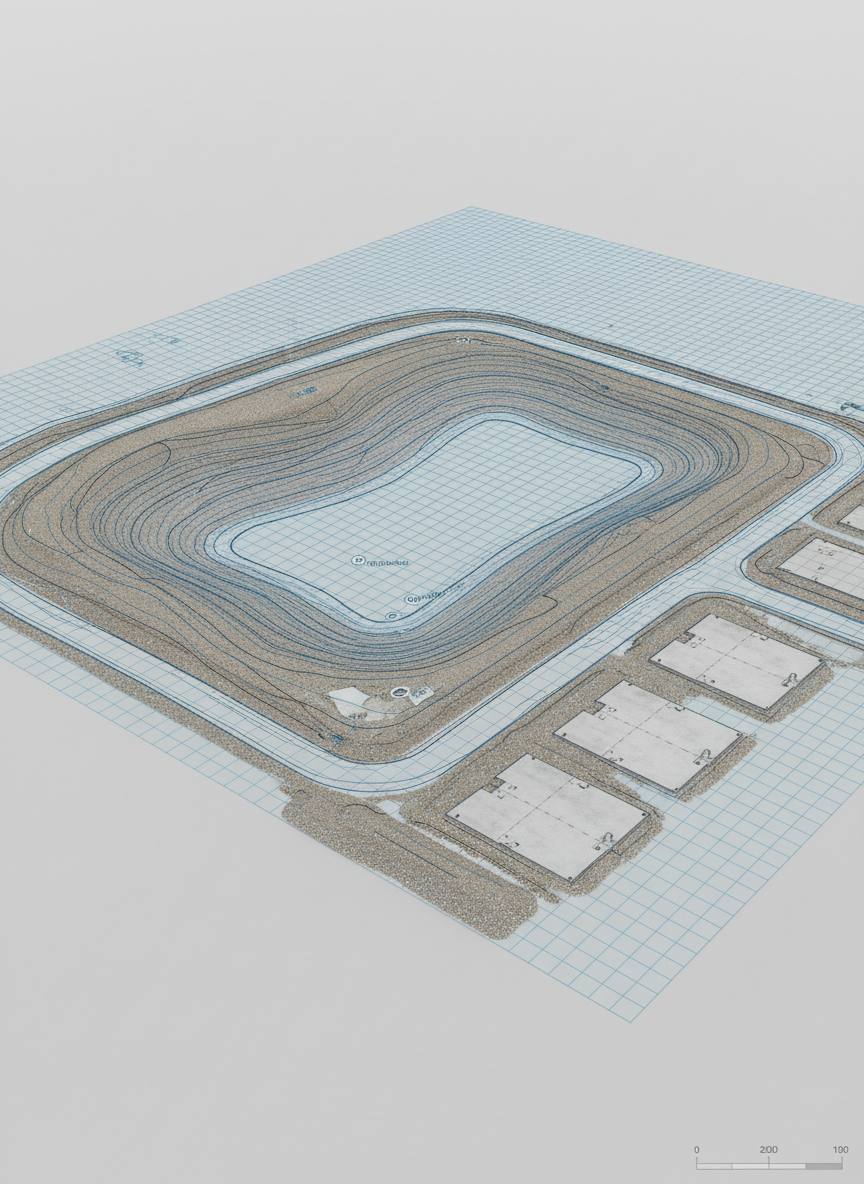
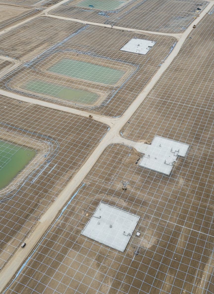
Aerial Imaging for Surveyors

Accurate aerial surveying to support boundary, topographic, and volumetric measurements, integrated seamlessly with your survey workflows.

A highly realistic point cloud visualization derived from drone surveying, depicting an industrial facility with storage tanks, loading areas, and rectangular buildings, all constructed from dense, colorized points. The scene is shown from a gently rotating, elevated perspective frozen mid-frame, highlighting depth and volume. Subtle studio-style lighting enhances color contrast between concrete, metal surfaces, and surrounding vegetation, while a dark, neutral background keeps focus on the data. The mood is technical and data-driven, suitable for a 3D modeling deliverable preview within a client portal. The composition centers the facility, with crisp definition and slight vignette around the edges to reinforce a clean, modern, professional aesthetic.
An expansive aerial view of a coastal Florida neighborhood captured from a medium-altitude drone, showing detailed rooftops, manicured lawns, and a winding canal with boats neatly docked along seawalls. The scene is bathed in soft late-afternoon sunlight, creating crisp, realistic shadows that define every structure and tree. The water reflects a muted blue-green, with subtle ripples visible in photographic realism. Composed in a balanced, slightly angled bird’s-eye perspective, the image emphasizes clarity and precision across the entire frame, evoking a professional, survey-grade mapping feel while maintaining a clean and modern aesthetic suited for a client portal dashboard background.
A high-resolution top-down orthomosaic-style aerial image of a mixed-use commercial area in Florida, featuring clearly distinguishable parking lots, building outlines, landscaped islands, and roadway markings. The perfectly vertical perspective creates a flat, map-like view with sharp focus from edge to edge. Bright but diffused mid-morning sunlight eliminates harsh shadows, allowing every painted line, curb edge, and roof texture to be visible in photographic detail. The composition feels technical and highly organized, with subtle color contrast between asphalt, concrete, and greenery, conveying accuracy, reliability, and a professional surveying atmosphere ideal for a mapping client portal hero image.
A precise 3D digital terrain model visualization of a construction site, rendered in photographic style, with a grid overlay and subtle contour lines draped across graded earth, retention ponds, and access roads. The view is taken from an elevated oblique angle, showing both height variations and planimetric detail. Soft, even overcast lighting minimizes harsh contrast, letting the subtle earth tones, gravel textures, and newly poured concrete pads remain clearly defined. The mood is technical, analytical, and highly professional, suggesting engineering-grade deliverables. The composition uses asymmetrical balance, with the main elevation changes drawing the eye, evoking a modern, data-focused client report illustration.

Reviews

Aya Nakamura

The client portal makes reviewing flights and downloading CAD files incredibly fast; our field crews and engineers stay aligned on the latest surfaces.

Mateo García

We save days on every project because orthomosaics, contours, and reports are delivered organized by site, with clear revision history.

Request access

Ask questions, request new surveys, or report issues with your deliverables; our team typically responds within one business day.

← Back

Thank you for your response. ✨

Visit us

Hudson, Florida

Hours

Mon–Fri 9–5

Phone

(727) 598-7501